Navigating with Waze or Google Maps
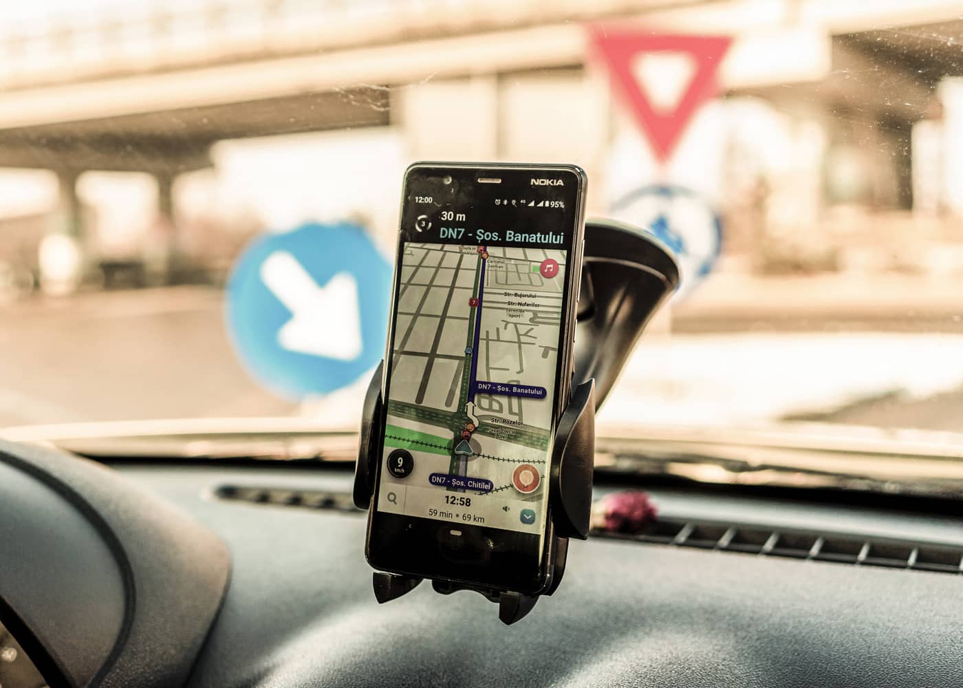
The road network, like traffic, is constantly changing. So what better way to travel than with a connected browser that collects information from other users? Google Maps is probably the best navigation app on the market. A top position that it shares with Waze (another Google product). The Waze application is based on Google Maps' excellent cartography (speed limit, map, re-routing, real-time traffic, etc.), but adds speedcam locations, police checks, roadworks and other potential incidents by reporting other users' road observations. So, it's a tool based on collective intelligence. Recently, Google Maps has also incorporated an LEZ (low emission zone) function. This feature is really very interesting, as it means you won't be caught off guard as cities are increasingly closing their doors to polluting vehicles.
Locate your car with Find my Car
The Find My Car app is another handy tool for your car. Especially when travelling to an unknown city! Or if you're going to dinner at a friends' place and you don't know the neighbourhood well. No more having to remember where you parked. Find My Car is a simple app that uses GPS location services to help you find your car.
Gasoil Now
Don't panic: Gasoil Now also works for petrol cars. This app tells you your closest fuel station. For many countries, it also indicates which has the best price. Unfortunately, this functionality is not available in Belgium as there is no database with fuel prices for the different pumps. Therefore, if prices are indicated, they have been entered by another app user.
Crashsform or Assisto in the event of an accident
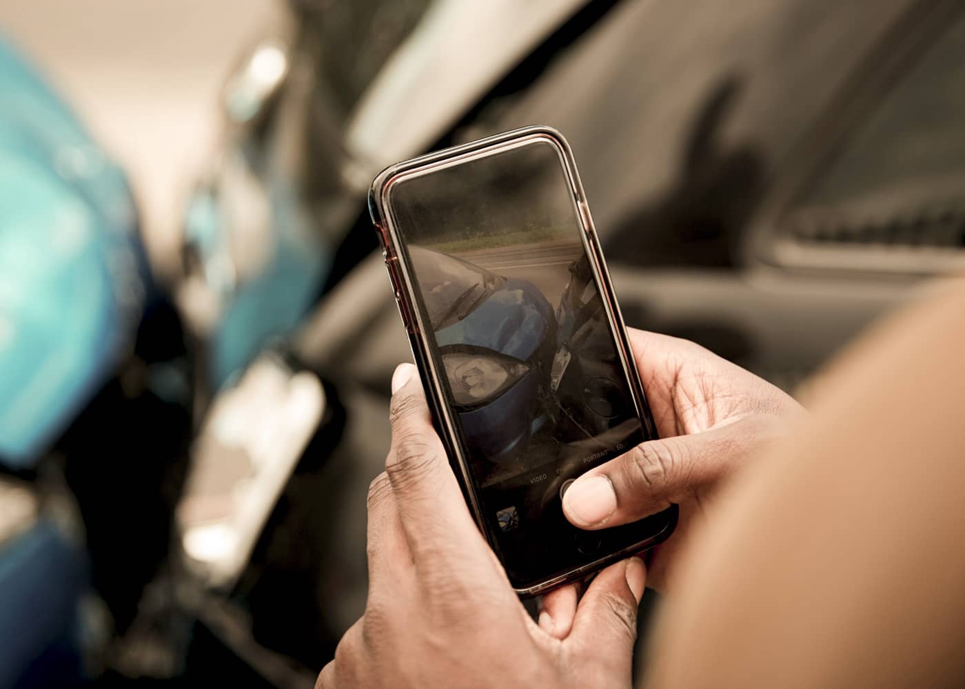
Had an accident and don't have a declaration form in the glove box? Don't worry, the Crashsform and Assisto apps make it easy to complete and save the form in the app These applications were developed in collaboration with Assuralia, the Belgian insurance group. They are therefore well-recognised.
Monitoring the road with CamOnRoad
CamOnRoad allows you to use your smartphone as a dashcam, a camera that captures and records what is happening in front of you. This application is very convenient in the event of an accident. You can easily prove your innocence! Images are saved to the cloud, so you won't need to fill up your smartphone with large files.
112: rescue or being rescued
Are you a victim of or witness to a serious accident? The 112 app allows you to communicate directly with the emergency services and share your location. The app is also a tutorial that allows you to respond effectively during these crucial first moments.
Never be stranded with Touring Assist
The Touring Assist and Mobilis applications have recently merged. Now there's a single platform that allows you to plan your routes as well as request assistance. For travel, the app offers real-time information on traffic jams, fixed, mobile and average speed cameras, roadworks, closed roads and accidents. The assistance section allows you to share your location, post photos to inform of a problem you are experiencing, alert your loved ones in the event of a hitch, make an appointment with a patrol operator and even locate those close to you. Easy!
Edwige hard shoulder app in Wallonia
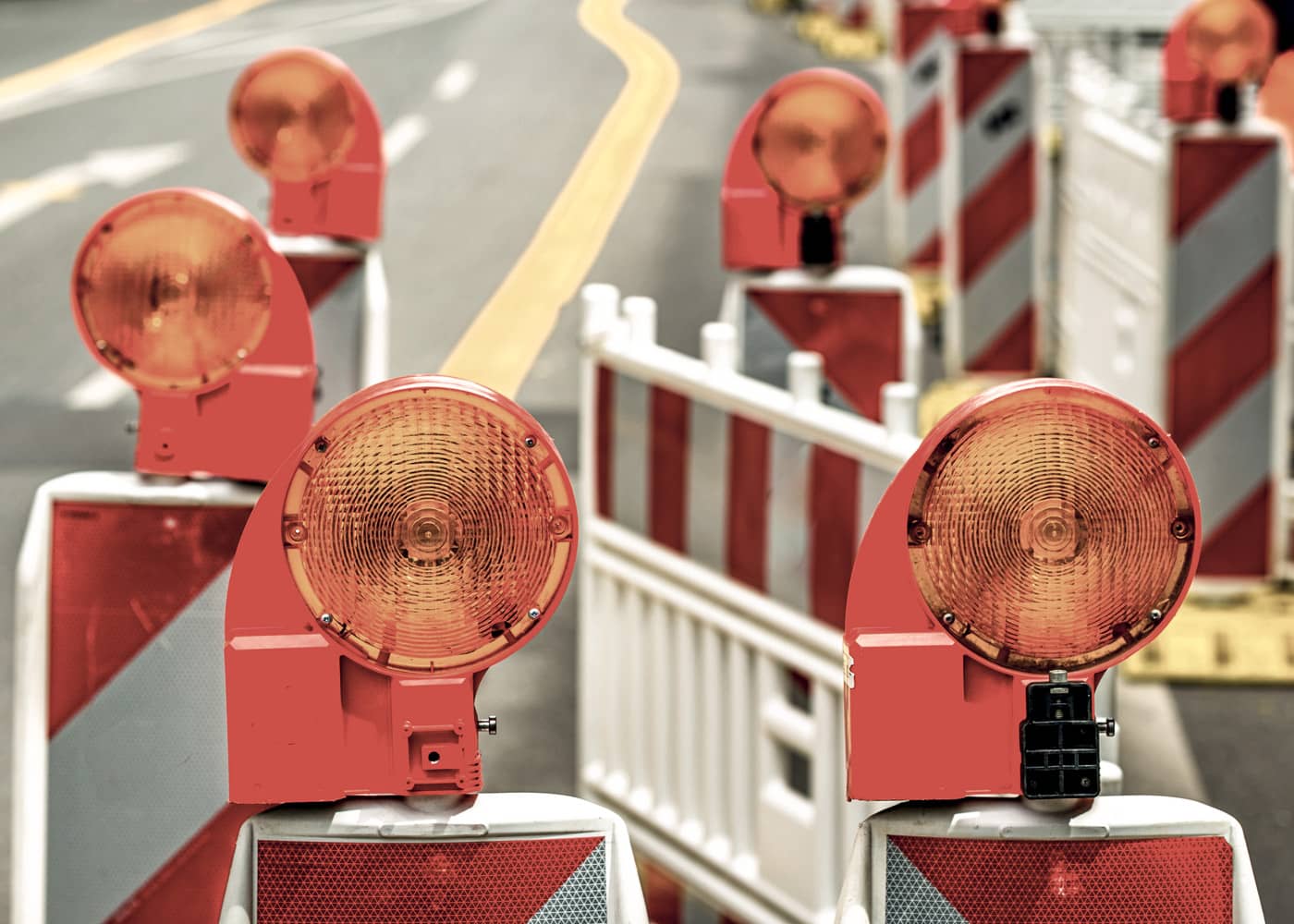
In Wallonia, the authorities (SPW Mobilité Infrastructures and Sofico) have developed Edwige. This app replaces the orange call boxes that have disappeared from the edge of our motorways. It is there to help those in distress on the road (breakdown, accident), but also to report incidents on the road network in the region. The application is managed from the Perex traffic management centre and, if necessary, the call is relayed to 112. Edwige has a machine translation system for written exchanges with a Perex operator.
Find out where to charge your electric car with Chargemap & Co
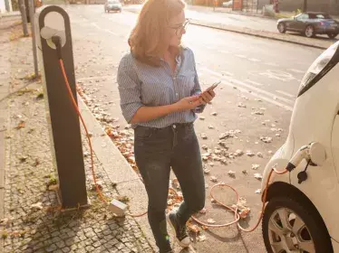
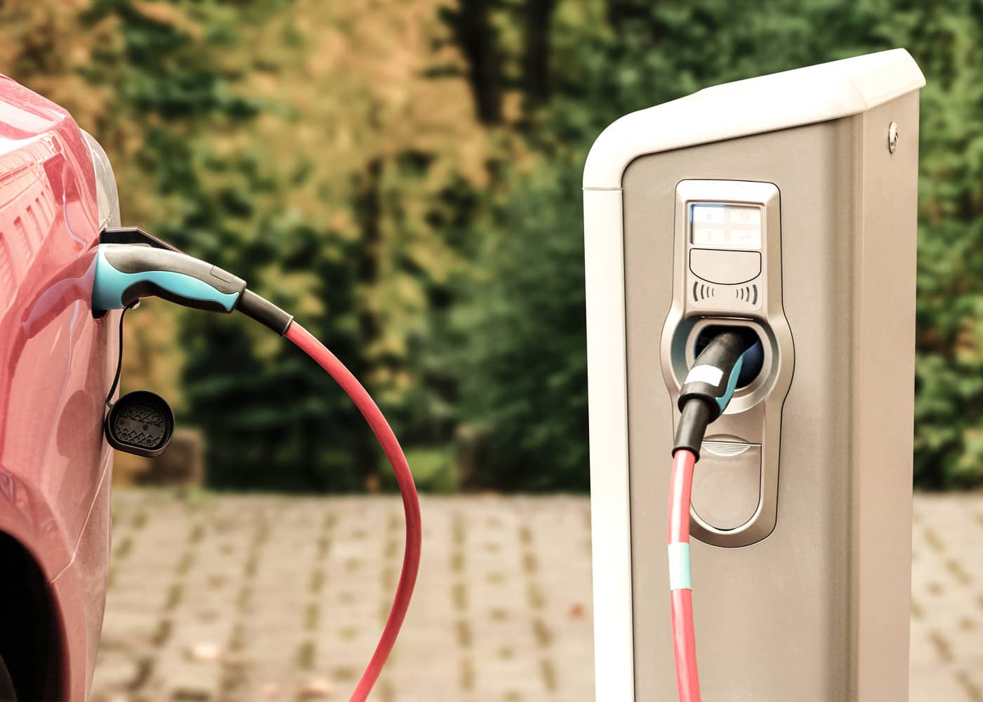
The go-to app for finding a charging point is Chargemap, which offers a detailed map of charging points available throughout Europe. The strength of this tool is its large community, which shares all the new charging points it can find. PlugShare is another application that works on the same principle. PlugShare also offers an integrated payment solution, so you can pay for your top-up directly from your smartphone. It should be noted that Google Maps is also developing in this area: charging stations are referenced with the number and type of sockets available, as well as their availability.
Pairing phone and car with Android Auto and Apple CarPlay
By connecting your phone to your car's multimedia system, you can pair it with Android Auto or Apple CarPlay. This allows you to enjoy your compatible apps in a smartphone-like environment, not just via Bluetooth, by also via the manufacturer's system menu. There you will find messaging apps such as Messenger and WhatsApp. This technology is compatible with many music, podcast, and radio apps such as Deezer, Spotify, Radioplayer, TuneIn, YouTube Music, Stitcher, and Audiobooks. But it's also very convenient for navigation. The system can search for the addresses in the calendar to suggest them directly to the browser, or you can even ask Siri or Ok Google directly!
Manufacturers are also developing their own applications
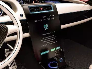
On-board systems from many manufacturers also offer their own applications. There are official concessions, as well as a host of features that allow you to remotely check whether your vehicle is properly locked, what the remaining range is, where it is located, etc. This type of service is very useful, especially for electric vehicles. If connected to a charging point, they can be remotely air conditioned before departure. This saves battery power.
What about the future?
In the future, the on-board applications in our cars will be even more diverse. Why? Simply because the majority of manufacturers are in the process of using Android Automotive. This is an open source Google operating system. This means that new customised applications and solutions can be integrated quickly and easily.


